In this article, you will find essential information for exploring the trails of Mount Athos. The information is based on the manual "Mount Athos Trails", translated by Triantafyllos Argyropoulos from the original work first published in 1981 in German by Reinhold Zwerger and Klaus Schöpfleuthner, under the title "Wege am ATHOS Wegebeschreibung zur Kartenskizze".
The difficulty of hiking due to inaccessible areas
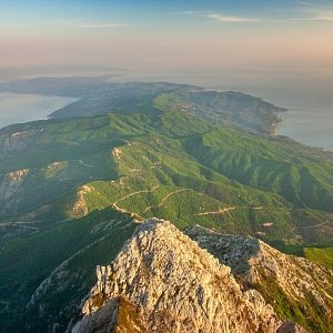
Mount Athos comprises an extensive network of forest roads. While these roads are particularly useful for the monastic community’s needs, they remain challenging for those who wish to traverse them, whether they be monks, pilgrims, or ordinary visitors.
The weather conditions significantly affect the road network of the Athonite Peninsula. On days of intense heat, these roads become dusty and difficult to walk due to the lack of shade.
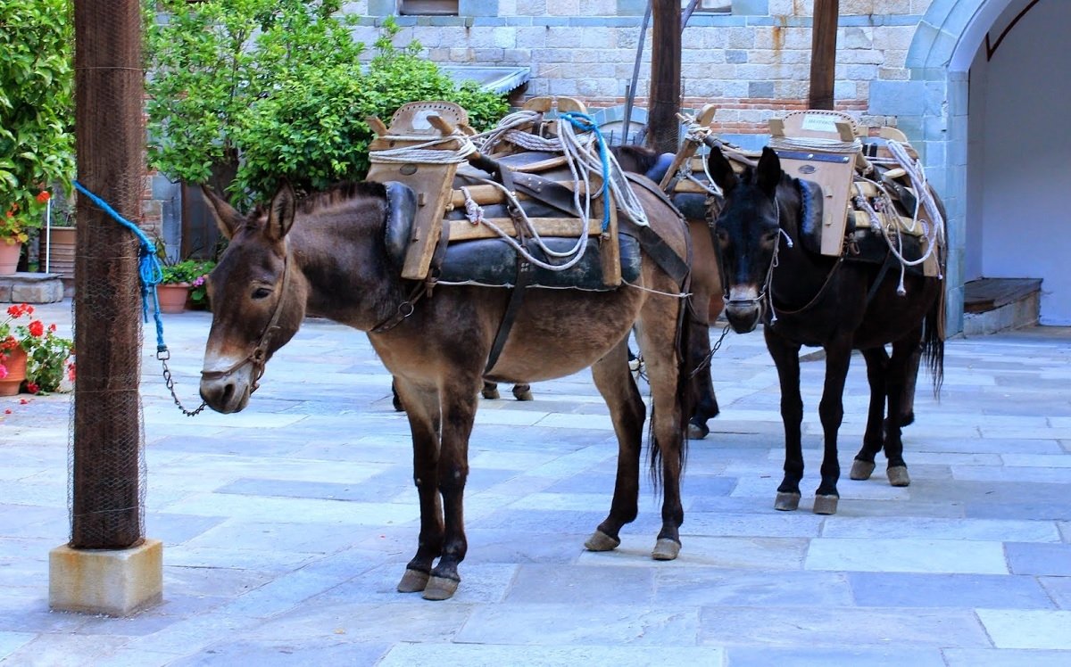
Conversely, during periods of rainfall, the roads become muddy, making passage and final destination much more challenging. However, there are still paths accessible to pack animals, which can be used for transportation.
Signage on the roads of Mount Athos
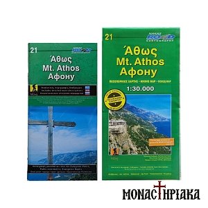
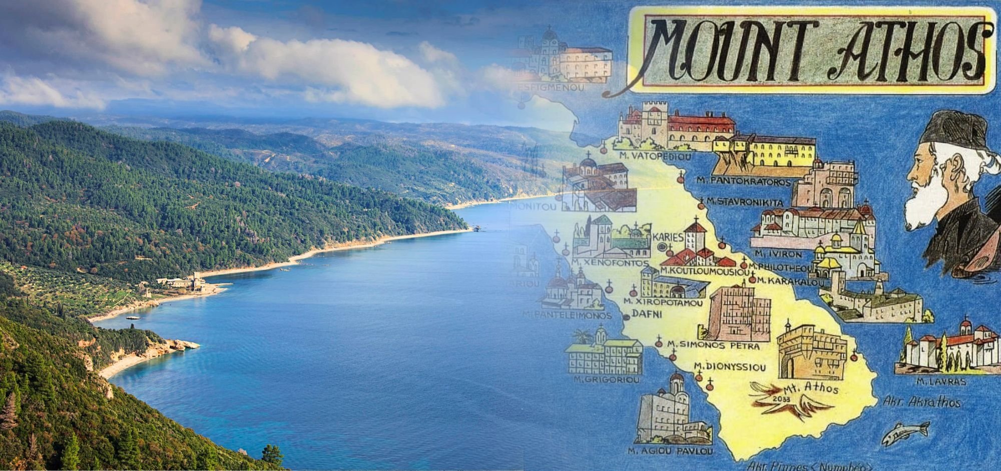
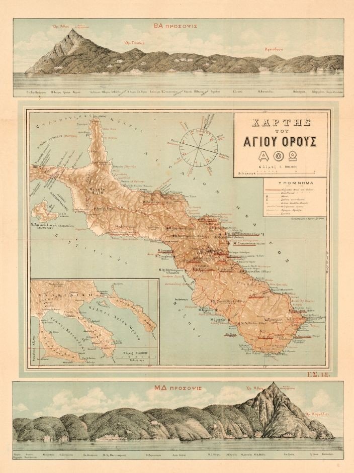
It is worth noting that some paths are marked with clear signposts. However, many of the markings are vague or hard to distinguish. For this reason, detailed maps of the trails of Mount Athos are an essential tool for every pilgrim and explorer in the Garden of the Theotokos.
Additionally, you can consult our article "Paths Trails of Mount Athos - Hiking on Athos Peninsula", which provides information on the distances between the monasteries of Mount Athos, as well as the intermediate stations along the routes. This guide covers a wide range of details regarding the road networks available to visitors and offers options of maps to facilitate navigation.
Read the article about the Paths of Mount Athos.
Read the article about the Summit of Mount Athos.
Hiking tips for Mount Athos
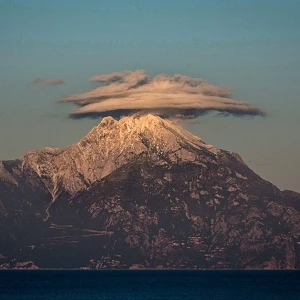
It is important to prepare thoroughly before embarking on a hike or ascent to the summit of Mount Athos. Weather conditions can be extreme, as the temperature drops by 2-3 degrees Celsius for every 100 meters of altitude gained.
For example, if it is raining near sea level with a temperature of 10°C, at the summit, there could be a snowstorm. Additionally, even though maps are highly detailed and regularly updated, they may indicate the presence of springs, cisterns and water fountains, which, in periods of drought, may run dry.
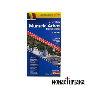
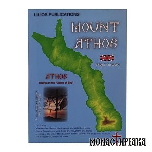
Find here: Trekking Maps of Mount Athos
Some groups of pilgrims who wish to undertake long hikes even ascending to the peak of Mount Athos, often choose to cover part of the distance by sea. However, in such cases, one must consider that returning the same way (partly by sea) may not always be feasible.
Before setting out on your journey to Mount Athos, ensure that you have accurate and up-to-date information on the following topics:
1. The summer and winter ferry schedules from Ouranoupolis and Ierissos.
2. The route from Ierissos to Great Lavra Monastery, which operates by boat only when weather conditions permit.
3. The route Daphne το Great Lavra Monastery, which operates up to Saint Anne’s Skete when the sea is rough.
4. No ferry service operates in severe storms, including the route from Ouranoupolis to Daphne.
Despite the challenges that may arise, hiking on Mount Athos and ascending to the peak of Athos is a unique experience that rewards every visitor.
Find here: Hiking Map of Mount Athos - Detailed